


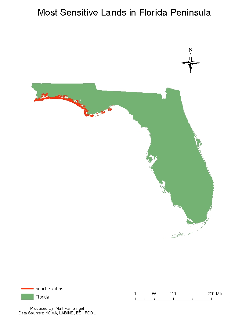
The above maps are presented to help show the many aspects at which GIS can help in a disaster. The ability to map hazards, environmentally important lands, areas of highest concern and also to plan a course of action is invaluable to many relief efforts. These maps show the socioeconomic impacts of an oil spill by mapping areas of importance- such as marinas, the ecological impact of an oil spill by showing how many and what type of creatures will be affected and also what areas of management each location falls under to better plan a relief effort.
No comments:
Post a Comment